Digital Periegesis
A prototype spatial reading environment for Pausanias’ Description of Greece, developed as part of the Digital Periegesis project in collaboration with the University of Uppsala and the Open University.
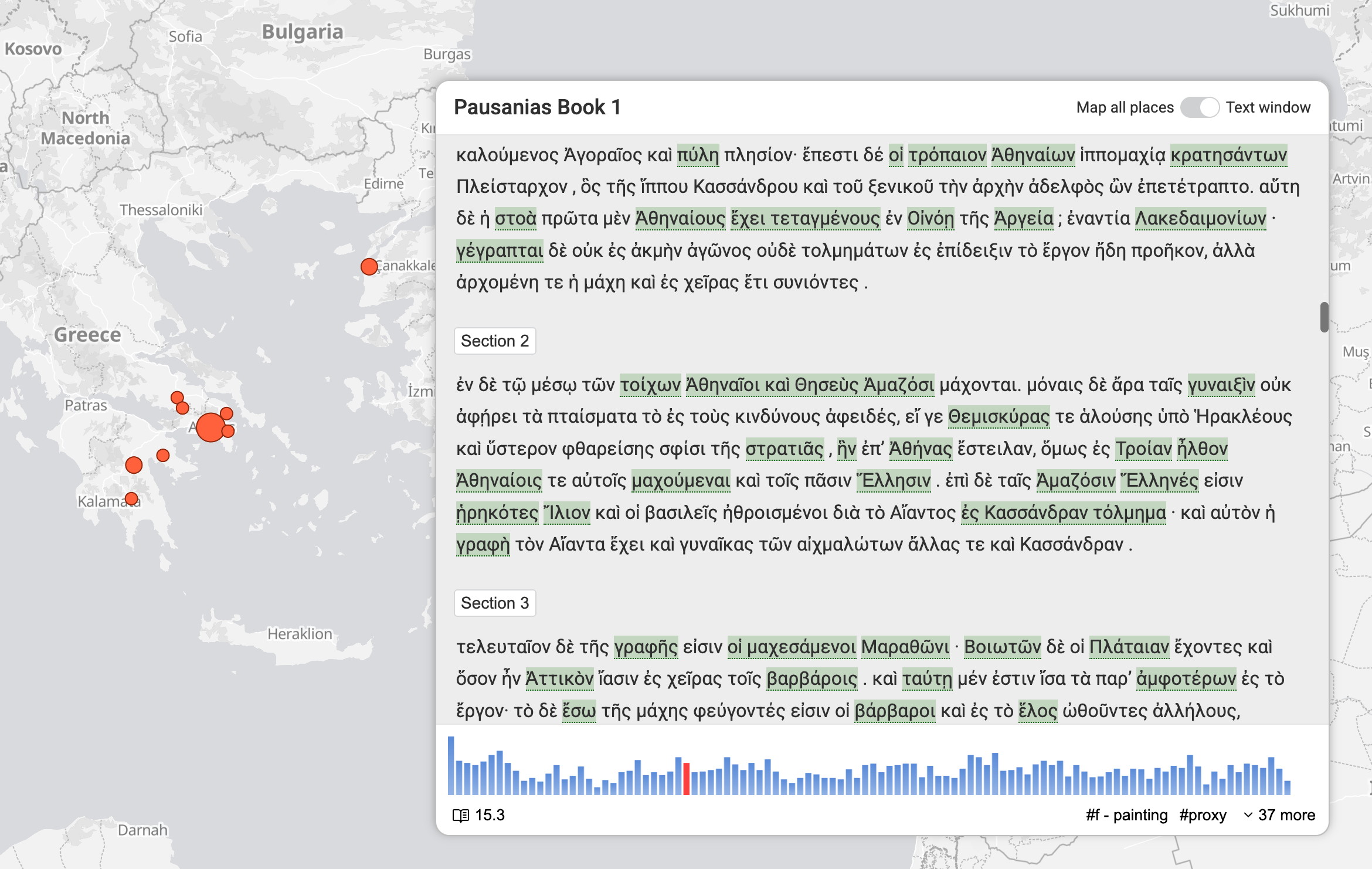
The application synchronizes a reading interface for a geo-coded TEI-encoded text with an interactive map. As users move through the text, the map updates dynamically to display markers corresponding to the places referenced in the current reading view, based on gazetteer links embedded in the TEI markup.
In addition to map-based navigation, the interface offers exploratory tools such as a histogram view, which visualizes the density of place references across the text and allows direct “jump-to” navigation. The system also supports navigation by thematic tags derived from the underlying TEI annotation.